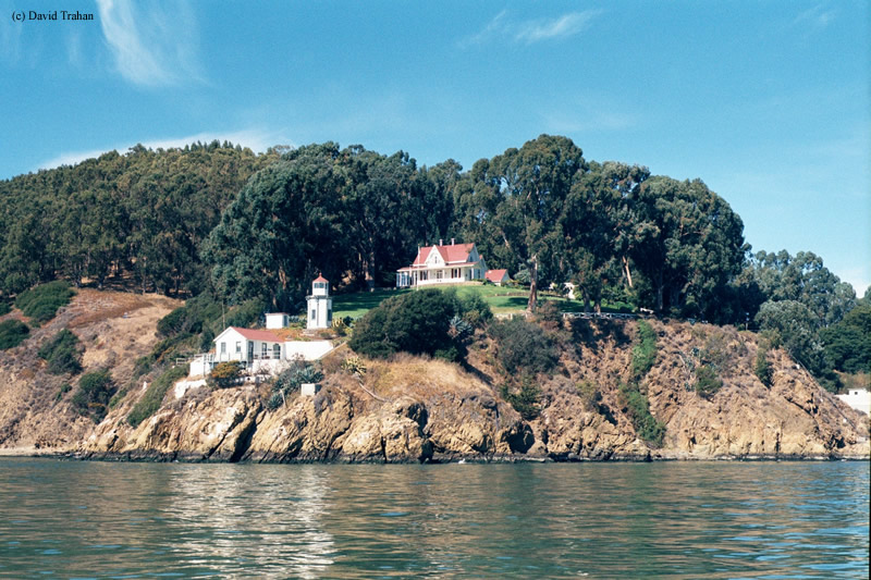
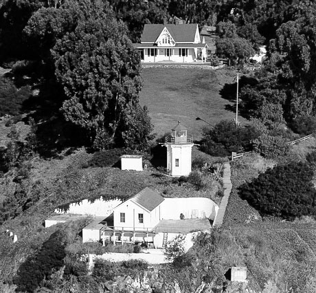
Yerba Buena Lighthouse
San Francisco, California - 1875 (1875**)

History of the Yerba Buena Lighthouse
Originally nicknamed Goat Island due to the Costanoan Indians who would herd goats on the island. In 1873, the U.S. Army set up camp on the island, which ended up driving away the Indians. In 1874, the Lighthouse Board set up a Lighthouse Depot on the island to maintain all the aids to navigation for the Bay Area.
 Yerba Buena Lighthouse (Courtesy Coast Guard)
The lighthouse was built in 1874, mainly to serve passenger boats and ferries between Oakland and San Francisco. Once the Oakland-Bay Bridge opened in the late 1930s, the decision was made to keep the lighthouse operational due to increased shipping traffic in the Bay. To this day, the lighthouse still retains its original fourth-order Fresnel lens and is still an active aid to navigation. However, instead of a lighthouse keeper, the keeper's dwelling is occupied by a Coast Guard Admiral. Surprisingly enough, he is responsible for all of the aids to navigation for the San Francisco Bay area. The lighthouse was automated in 1958.
Photographer Gary Yost produced a short film inside the lantern of the Yerba Buena Lighthouse. The view from the lantern is fantastic.
Directions: The lighthouse sits on the southern tip of Yerba Buena Island. Most of the southern end of the island is encompassed by the U.S. Coast Guard and is off limits. So essentially there is no view from Yerba Buena Island. The best view would be from a boat tour or from the water.
The best shore view I found was from the Port of Oakland. Take I-80 to Oakland and get off at the first exit, Maritime Street. This whole area encompasses the Port of Oakland. The best view is from the Cal-Tran area. From Maritime Street, make a left onto Burma Drive and follow this to the end. You will end up right under the Bay Bridge. I got a really distant picture by using a 500mm zoom lens, but a 1000mm lens would have done much better. When I did this, it was back in 1999. So this area might be off limits given post 9/11 security.
View more Yerba Buena Lighthouse picturesTower Height: 25.00'
Focal Plane: 95'
Active Aid to Navigation: Yes
*Latitude: 37.80728 N
*Longitude: -122.36225 W
See this lighthouse on Google Maps.
