Point Bonita Lighthouse
San Francisco, California - 1877 (1855**)

History of the Point Bonita Lighthouse
The first lighthouse was built at Point Bonita in 1855 due to many shipwrecks in the area. One such ship that hit the rocks and sunk was the Tennessee. The un-salvagable ship and cargo was estimated to be worth $300,000 in 1851. The lighthouse stood 56' high atop a 300' bluff, and had a second-order Fresnel lens. Normally this is a good thing, bue due to frequent fog, the light occasionally became invisible. The first fog signal at the building was a surplus cannon that the keeper was to fire off whenever fog rolled in. This was later replaced by an almost one ton bell that keepers would strike with a hammer. This station would be used until 1877.
 Point Bonita Lighthouse (Courtesy U.S. Coast Guard)
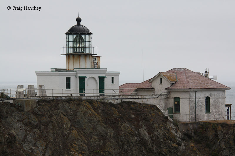
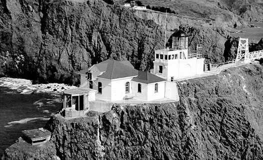
Due to the problems with the first tower being obscured in the frequent fog, a new tower would be built closer to the water. To be exact, the tower would be on a small ledge about 120' above the water. The new tower stood only 33' tall, had steam driven fog signals, and several storage buildings. Construction was no easy feat. It took more than five years, and required an incline railway as well as a derrick be built to hoist and move materials to the site. Another such feat was a tunnel had to be blasted through 100 feet of rock. People still pass through this tunnel today to get to the lighthouse.
The forces of nature have damaged the lighthouse over the years. The original keeper's dwelling was demolished during the earthquake of 1906. Once the house started shaking, the keeper and his family made their way outside before the house collapsed. They lived in the oil house until a new dwelling could be built. Another such even was a landslide in the 1940s that destroyed the natural bridge. This essentially turned the land where the lighthouse sits into an island. The Coast Guard, perhaps inspired by the recent Golden Gate Bridge opening, built a mini-suspension bridge over to the lighthouse.
Directions: From Highway 101 south, take 101 south to the last exit before going back over the Golden Gate Bridge. This should be Alexander Dr. Follow this road up into the Golden Gate National Recreation Area. This area provides some great views of San Francisco and the Golden Gate Bridge. You are actually higher than the bridge itself. Follow this all the way to the top. Once at the top, there is a one way road that will lead you to the lighthouse. Look closely, it could easily be mistaken for a dead end. Follow the one way road, Conzelaman Road, all the way to the end. Once at the end, you will be at the parking area for the Point Bonita Lighthouse. Park your vehicle, and once again, take everything with you, it is a long walk to the lighthouse. This one I would say is easily a mile or more. It is an interesting walk though. You walk across a mini suspension bridge and through a tunnel. Once out of the tunnel, you will see another suspension bridge and the lighthouse. The day I was there, it was quite windy, so be careful.
One a side note, if you look south and east, you can see a striped cylindar out in the water. This is the remains of the Miles Rock Lighthouse. I used a 500mm zoom lens to get my pictures.
View more Point Bonita Lighthouse picturesTower Height: 33.00'
Focal Plane: 140'
Active Aid to Navigation: Yes
*Latitude: 37.81559 N
*Longitude: -122.52950 W
See this lighthouse on Google Maps.