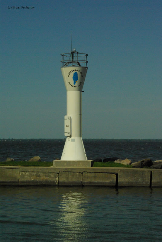
Fisherman's Road Lighthouse
Pipe, Wisconsin - 2001 (Unknown**)

History of the Fisherman's Road Lighthouse
Posted/Updated by Bryan Penberthy on 2007-12-02.
There is not much information available on this lighthouse. The tower once stood next to the Calumet Harbor Lighthouse in Columbia Park until it was moved to the end of Fisherman's Road in 2001, where it marks the boat ramp for the Fisherman's Road Fishing Club
As far as when it was originally built, for what purpose, and where it stood before it was moved from Columbia Park, I am not too sure. If you have any information on this tower, please let me know.
Directions: The lighthouse is located at the end of Fisherman's Road off of Highway 151 about seven miles north of Fond du Lac, WI.
Access: Grounds open. Tower closed.
View more Fisherman's Road Lighthouse pictures
Tower Information
Tower Height: 25.00'
Focal Plane: Unknown
Active Aid to Navigation: Yes
*Latitude: 43.87300 N
*Longitude: -88.36200 W
See this lighthouse on Google Maps.
Tower Height: 25.00'
Focal Plane: Unknown
Active Aid to Navigation: Yes
*Latitude: 43.87300 N
*Longitude: -88.36200 W
See this lighthouse on Google Maps.