Pigeon Point Lighthouse
Pescadero, California - 1872 (1871**)
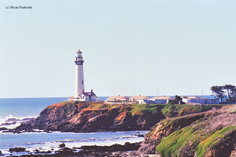

History of the Pigeon Point Lighthouse
This light got its name from a ship that ran aground near the station...the ship's name: Carrier Pigeon. This lighthouse is approximately 160 feet tall, making it one of the tallest on the Pacific Coastline. It sits about 50 miles south of San Francisco on California Route 1. The lighthouse sits on the grounds of a hostel.
Directions: The lighthouse sits on Pigeon Point Road, just off Highway 1 about 25 miles north of Santa Cruz, California.
View more Pigeon Point Lighthouse pictures
Tower Information
Tower Height: 115.00'
Focal Plane: 148'
Active Aid to Navigation: Yes
*Latitude: 37.18175 N
*Longitude: -122.39395 W
See this lighthouse on Google Maps.
Tower Height: 115.00'
Focal Plane: 148'
Active Aid to Navigation: Yes
*Latitude: 37.18175 N
*Longitude: -122.39395 W
See this lighthouse on Google Maps.