Split Rock Lighthouse
Two Harbors, Minnesota - 1910 (1910**)

History of the Split Rock Lighthouse
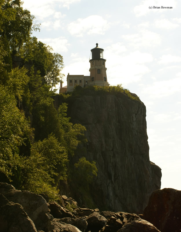
With the doubling of iron ore shipments on Lake Superior, and an unusual magnetic influence in the area due to heavy amounts of iron ore in the rocks surrounding the northern shore of Lake Superior, a lighthouse was commissioned at Two Harbors, MN. The Split Rock lighthouse was finished in 1910, and is 54' tall, and sits on a cliff 130' above the waters of Lake Superior.
The lighthouse houses a third-order bi-valve ("clam-shell") Fresnel lens which was visible 22 miles out to sea. It was decommissioned in 1969, and is now lit only once a year on the anniversary of the wreck of the Edmund Fitzgerald.
For more information, please visit the Split Rock Lighthouse State Park website
Directions: From State Route 61 heading north of Two Harbors, make a right onto Split Rock Lighthouse Road in Split Rock Lighthouse State Park.
View more Split Rock Lighthouse picturesTower Height: 54.00'
Focal Plane: 168'
Active Aid to Navigation: Deactivated (1969)
*Latitude: 47.20000 N
*Longitude: -91.36700 W
See this lighthouse on Google Maps.