Baily Lighthouse
Baily, Leinster - 1814 (1668**)
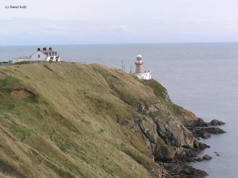

History of the Baily Lighthouse
Description coming soon.
Directions: The lighthouse sits at the end of a private road from what I can tell looking at Google Maps. From the town of Baily, follow Carrickbrack Road east. Turn south onto Thormanby Road and follow that to Long Acre. From here, the lighthouse sits at the end of a private road near there.
View more Baily Lighthouse pictures
Tower Information
Tower Height: 43.00'
Focal Plane: 135'
Active Aid to Navigation: Yes
*Latitude: 53.36200 N
*Longitude: -6.05300 W
See this lighthouse on Google Maps.
Tower Height: 43.00'
Focal Plane: 135'
Active Aid to Navigation: Yes
*Latitude: 53.36200 N
*Longitude: -6.05300 W
See this lighthouse on Google Maps.