Bloody Point Bar Lighthouse
Kent Island, Maryland - 1882 (1882**)
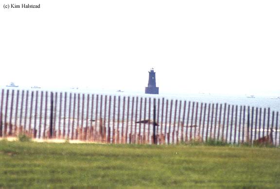

History of the Bloody Point Bar Lighthouse
This lighthouse is what's known as a "spark plug" type lighthouse. Its gets this name by its shape. The basic buildup of this type of lighthouse is a tower placed on top of a caisson. This particular lighthouse was finished in 1882, and stands 37' tall. Given the high occurance of ice flows, the caisson, which is 30' tall, was made of concrete and covered in iron.
The lighthouse was manned until 1960 when a fire gutted the entire inside of the tower. Rather than rehabilitating the interior, it was easier to install the automation equipment. The current optic is a 300mm lens, and is still an active aid to navigation.
Directions: The lighthouse sits off shore off the southern tip of Kent Island. The best view would be from the water. From US-50 US-301, exit at Romancoke Road and follow that south for about 7.1 miles. At this point, Romancoke Road bears left. You will want to continue south on Kent Point Road to the end. This will change names to Willard Point Road. From here, you should be able to get a decent distance shot.
View more Bloody Point Bar Lighthouse picturesTower Height: 40.00'
Focal Plane: 54'
Active Aid to Navigation: Yes
*Latitude: 38.83400 N
*Longitude: -76.39200 W
See this lighthouse on Google Maps.