Fourteen Foot Shoal Lighthouse
Cheboygan, Michigan - 1930 (1930**)
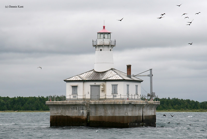

History of the Fourteen Foot Shoal Lighthouse
This lighthouse never had a keeper as it was an early experiment in automation. The lighthouse keeper from the Poe Reef Light could control this lighthouse using radio beacon. This picture was taken using a 1000mm telephoto lens from the Cheboygan Crib Light.
Directions: From the Town of Cheboygan, make a left onto North Huron Street. Follow this to the end, it will lead to a park with the Cheboygan Crib Lighthouse in it. If you look just off shore you will see the Fourteen Foot Shoal Lighthouse.
View more Fourteen Foot Shoal Lighthouse pictures
Tower Information
Tower Height: 36.00'
Focal Plane: 55'
Active Aid to Navigation: Yes
*Latitude: 45.68000 N
*Longitude: -84.43500 W
See this lighthouse on Google Maps.
Tower Height: 36.00'
Focal Plane: 55'
Active Aid to Navigation: Yes
*Latitude: 45.68000 N
*Longitude: -84.43500 W
See this lighthouse on Google Maps.