Charlevoix South Pierhead Lighthouse
Charlevoix, Michigan - 1948 (1885**)
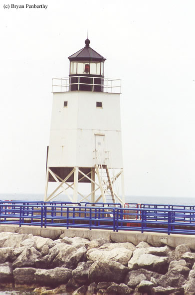

History of the Charlevoix South Pierhead Lighthouse
More information coming soon.
Directions: From US-31 in Charlevoix, head north, and then make a left onto Park Ave. Follow Park Ave to the end, then make a right onto Grant Street, which will then change names to Palmer Ave. This will lead you to a park and the lighthouse.
View more Charlevoix South Pierhead Lighthouse pictures
Tower Information
Tower Height: 36.00'
Focal Plane: Unknown
Active Aid to Navigation: Yes
*Latitude: 45.32100 N
*Longitude: -85.26500 W
See this lighthouse on Google Maps.
Tower Height: 36.00'
Focal Plane: Unknown
Active Aid to Navigation: Yes
*Latitude: 45.32100 N
*Longitude: -85.26500 W
See this lighthouse on Google Maps.