Old Ka'ena Passing Lighthouse
Mokuleia, Hawaii - 1920 (1920**)
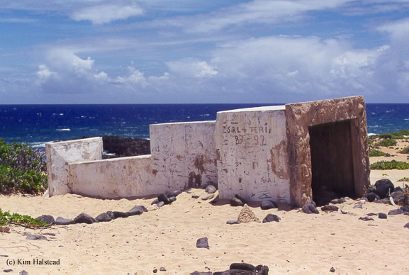

History of the Old Ka'ena Passing Lighthouse
More information coming soon.
Directions: I am not too sure how to get to this lighthouse. The logical way, by looking at at map, has you start in the town of Makaha. You would following Farrington Highway (SR93) north to Satellite Tracking Station Road. Then follow that to Wainae Ridge which will lead you to Kaena Military Reservation. But from here, I am not sure if you can get out to the point.
The other way that it looks possible to get to the point is to start from Mokuleia and follow Farrington Highway (SR930) west past Dillingham Field. Follow 930 all the way to the end, and it looks like it will turn into a dirt road, but you can possibly continue the other 2.5 miles to the point.
Sara Woodward sent me some info confirming the directions. Read below:
Yes, This is the easiest way to the light, (IE: catch the H2 follow it all the way till it ends and then past Schofield Army base. Keep going straight towards Dillingham Field rather than the right towards Haleiwa...) after seeing your posted pictures i wanted to go see it for myself. once past Dillingham field (where they also filmed Lost on the shore opposite) the road will abruptly end...from here it is either a loooong, hot, dusty, (lest you stay to the sandy beach and coral) hike, or better yet, as i found... a four wheel drive vehicle.
K point is a well known 4-wheeling ground for many jeep groups in Oahu. buckle up and enjoy the ride! At the end you will come to a large rusted gate marking a bird sanctuary maintained by the coastguard. Respect the grounds and stay on the path and within a short, beautiful hike you will come upon both these lights. Keep your eyes out for sunbathing monk seals!
View more Old Ka'ena Passing Lighthouse picturesTower Height: 65.00'
Focal Plane: Unknown
Active Aid to Navigation: Deactivated (1987)
*Latitude: 21.57400 N
*Longitude: -158.27900 W
See this lighthouse on Google Maps.