Windmill Point Lighthouse
Wexford, Ontario - 1873 (1827**)
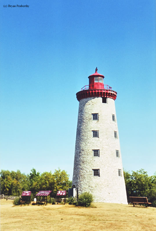

History of the Windmill Point Lighthouse
This lighthouse originally started life as a windmill. The site that the lighthouse sits on is also where a battle of the Patriot war took place. In fact, this battle was the only military battle to take place in the Canada. What had happened was a group of American and Canadian Rebels took refuge in the Windmill, eventually hoping to take over Fort Wellington. However, the British got word of this and met them at the Windmill. They held the British off until more manpower came down from the Kingston at which time they were forced to surrender.
Directions: From the Ogdensburg-Prescott International Bridge, follow Route 2 west. You will see a sign for Windmill Point along the road. **Note: These GPS coordinates are approximated. If you have more precise coordinates, please email them to me and I will update this page.
View more Windmill Point Lighthouse picturesTower Height: 82.00'
Focal Plane: Unknown
Active Aid to Navigation: Deactivated (1978)
*Latitude: 44.72100 N
*Longitude: -75.48700 W
See this lighthouse on Google Maps.