Port Maitland Lighthouse
Port Maitland, Ontario - 1898 (1830**)
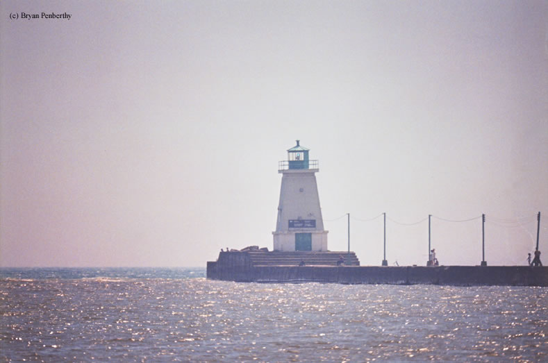

History of the Port Maitland Lighthouse
This lighthouse sits by Canal Feeder Road at the end of West Pier marking the entrance to the Grand River. As far as I know, there is no rear range light even though this is the front range light. If you have any information of a rear range light and if it ever existed, please e-mail me.
Directions: From Route 3 in Port Maitland follow that west. At the point where Route 3 heads north and changes names to Feeder Road, continue straight onto Niece Road. Make a right onto Siddall Road, then a left at Canal Road. Follow this a little ways and you will see a pull-off overlooking the river. Look south and you will see the Port Maitland Front Range Light.
View more Port Maitland Lighthouse pictures
Tower Information
Tower Height: 41.00'
Focal Plane: 51'
Active Aid to Navigation: Yes
*Latitude: 42.85300 N
*Longitude: -79.58000 W
See this lighthouse on Google Maps.
Tower Height: 41.00'
Focal Plane: 51'
Active Aid to Navigation: Yes
*Latitude: 42.85300 N
*Longitude: -79.58000 W
See this lighthouse on Google Maps.