Sturgeon Point Lighthouse
Sturgeon Point, New York - 1924 (1924**)

History of the Sturgeon Point Lighthouse
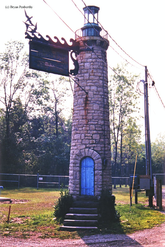
This light originally marked the entrance to a small marina on Lake Erie, but it was later moved and used as a signpost for the Erie County Water Works. (Notice the sign hanging off it.) Most of the books that I have, do not include this light, so I really have no information to relay.
Directions: From the Town of Derby, follow Route 18 (Sturgeon Point Road) west towards the lake. Make a right onto Lakeshore Road (Route 127) and head north. The lighthouse will be a short distance up on the left side of the road.
View more Sturgeon Point Lighthouse pictures
Tower Information
Tower Height: Unknown
Focal Plane: Unknown
Active Aid to Navigation: Unknown
*Latitude: 42.68800 N
*Longitude: -79.03200 W
See this lighthouse on Google Maps.
Tower Height: Unknown
Focal Plane: Unknown
Active Aid to Navigation: Unknown
*Latitude: 42.68800 N
*Longitude: -79.03200 W
See this lighthouse on Google Maps.